New: the ship map shows where the cruise ships are right now
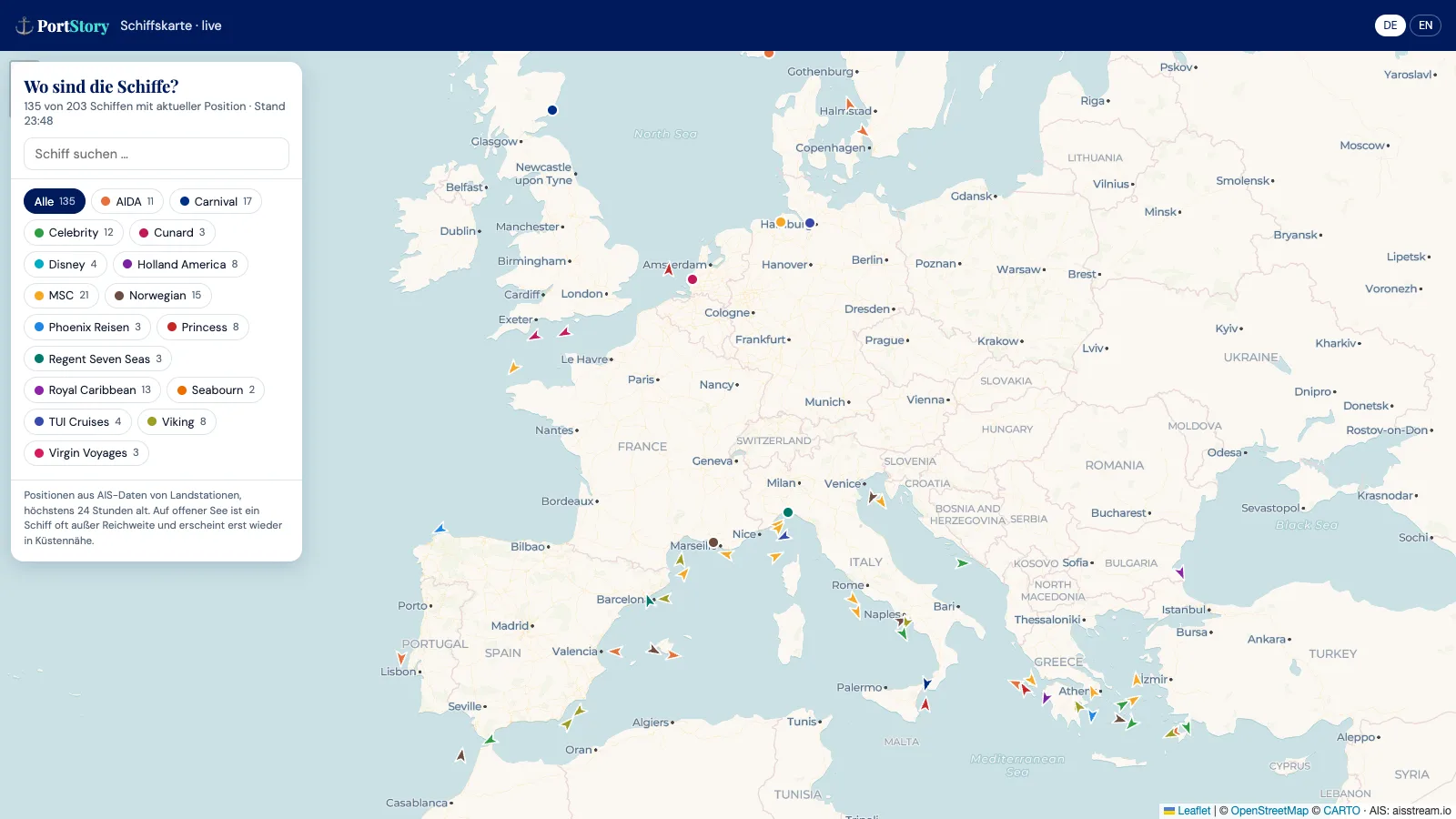
Where is my ship right now? Many cruise guests ask themselves that weeks before departure – and at the latest on the evening before embarkation. PortStory now answers it on a page of its own: the ship map shows the current positions of more than 200 cruise ships on a world map. It is free and needs no account, in the browser at portstory.app/schiffskarte and in the PortStory app.
What the map shows
Every ship appears as a coloured marker, and every cruise line has its own colour. An arrow means the ship is under way, its tip pointing along the course. A dot stands for a ship that is moored in port or at anchor.
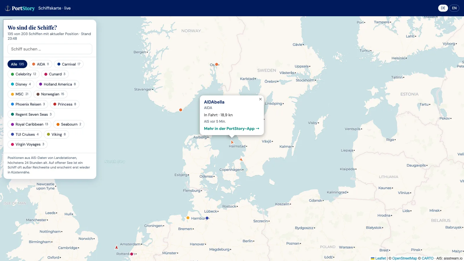
Tapping a marker opens a small info window: name and cruise line, whether the ship is sailing or not, its speed in knots – and, if it is in port, which one. It also says how old the report is, for example "AIS 5 min ago".
Filter by cruise line
At the side there is a list of every cruise line currently on the map, each with the number of its ships. Tap a line and all others disappear, while the map moves to where that line's ships are sailing. Several lines can be combined, AIDA and TUI Cruises for instance. The search box finds a single ship by its name.
Handy: the filter is part of the page address. Opening portstory.app/schiffskarte?reederei=AIDA shows only the AIDA fleet right away – so a selection can be passed on.
Where the positions come from
The basis is AIS, the Automatic Identification System. Every larger ship uses it to broadcast its position, course and speed by radio. Receiving stations on land pick up these signals; PortStory obtains them through the service aisstream.io and currently tracks 203 ships from 18 cruise lines. A ship's position is saved at most every ten minutes, and the map reloads itself every five minutes.
The system has one limit: AIS radio only reaches a few dozen kilometres. Shore stations therefore cover coasts, ports and straits well, but not the open sea. When a ship is far out on a sea day, it reappears only as it approaches the coast. So that the map shows nothing outdated, only positions from the past 24 hours appear – which is why not every ship is visible at the same time. The map is not meant for navigation or safety purposes.
Three ideas for the ship map
- Before your cruise: follow your ship in the days before embarkation and see which port it is coming from.
- Sailing along from home: when family or friends are on a cruise, you can see where they are docked.
- In port: which ships are berthed next to yours today? One look at the map tells you – cruise line included.
The map in the app and the magazine
In the PortStory app, the ship map is on the "Ships" screen and in every ship's details under "Show on the ship map"; the map then jumps straight to that ship. The other way round, every info window on the map leads to the ship in the app via "More in the PortStory app". Here in the magazine, too, articles about a ship now carry a box "Live on the ship map".